


Note: Please check your Spam or Junk folder, in case you didn't receive the email with verification code.

 English
Non-Linear: Random Order
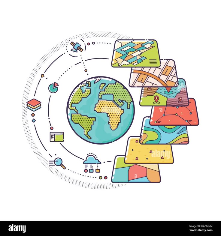
 What is GIS? Overview and Applications
History and Evolution of GIS Technology
Understanding Spatial Data: Vector vs. Raster
Components of GIS: Data, Software, Hardware, People, and Methods
GIS in Different Industries (Urban Planning, Agriculture, Disaster Management, etc.)
What is GIS? Overview and Applications
History and Evolution of GIS Technology
Understanding Spatial Data: Vector vs. Raster
Components of GIS: Data, Software, Hardware, People, and Methods
GIS in Different Industries (Urban Planning, Agriculture, Disaster Management, etc.)
 Ref: Geographic Information Systems
Duration:
Ref: Geographic Information Systems
Duration:
 Unit1 Test
10 Questions
Vector Data (Points, Lines, Polygons) and Raster Data (Grids, Pixels)
Coordinate Reference Systems (CRS) and Map Projections
Working with Geodatabases and Spatial Data Formats (Shapefiles, GeoJSON, KML)
Data Sources: OpenStreetMap, USGS, Landsat, and Government Portals
Hands-On: Exploring GIS Datasets in QGIS and ArcGIS
Ref:Essential components of GIS
Duration:
Unit2 Test
10 Questions
GPS and Field Data Collection Techniques
Working with Geospatial Data Portals
Data Cleaning, Geocoding, and Attribute Table Management
Data Import, Export, and Conversion Techniques
Hands-On: Creating and Managing a Spatial Database
Concept of topology
Duration:
Unit3 Test
10 Questions
Overlay Analysis (Buffer, Intersect, Union, Clip)
Proximity Analysis and Distance Calculations
Spatial Querying and Attribute Filtering
Geostatistical Analysis and Interpolation Techniques
Hands-On: Performing Spatial Analysis in QGIS and ArcGIS
Ref:GIS software
Duration:
Unit4 Test
10 Questions
Basics of Remote Sensing and Image Processing
Types of Satellite Data (Landsat, Sentinel, MODIS)
Supervised vs. Unsupervised Classification
Land Use and Land Cover Analysis
Hands-On: Processing Satellite Images for Environmental Applications
Ref:Raster Data Compression Techniques
Duration:
Unit5 Test
10 Questions
Introduction to Python for GIS (Using GeoPandas, GDAL, Rasterio)
Automating GIS Workflows with Python
Introduction to R for Spatial Data Analysis (sf, sp, and raster packages)
Hands-On: Creating Maps and Automating GIS Tasks with Python and R
Ref: Pre-processing of spatial datasets
Duration:
Unit6 Test
10 Questions
Introduction to Web GIS and Web Mapping Technologies
Building Interactive Maps with Leaflet.js and Mapbox
Using Google Earth Engine for Spatial Analysis
Developing Web-Based GIS Applications
Hands-On: Publishing Maps Online with ArcGIS Online and QGIS Cloud
Ref:Spatial Interpolation Techniques
Duration:
Unit7 Test
10 Questions
Introduction to Spatial Statistics
Spatial Autocorrelation and Clustering (Moran’s I, Getis-Ord Gi*)
Predictive Modeling with GIS (Land Use Change, Disaster Risk Analysis)
Machine Learning Applications in GIS
Hands-On: Predicting Spatial Patterns with Machine Learning
Ref:Spatial database systems
Duration:
Unit8 Test
10 Questions
GIS in Urban Planning and Infrastructure Development
Environmental Monitoring and Climate Change Analysis
GIS in Health and Epidemiology (Disease Mapping)
Transportation and Logistics Optimization with GIS
Case Studies: GIS in Disaster Response and Smart Cities
Ref:Various techniques to generate digital elevation
Duration:
Unit9 Test
10 Questions
End-to-End GIS Project: Data Collection to Visualization
Resume and LinkedIn Optimization for GIS Careers
Preparing for GIS Certifications (Esri ArcGIS, GISP)
Real-World GIS Case Studies and Applications
Final Project Submission and Certification
Ref:Applications of DEMs in solar and wind
Duration:
Unit 10 Test
10 Questions
Final Assesssment
40 Questions
Unit1 Test
10 Questions
Vector Data (Points, Lines, Polygons) and Raster Data (Grids, Pixels)
Coordinate Reference Systems (CRS) and Map Projections
Working with Geodatabases and Spatial Data Formats (Shapefiles, GeoJSON, KML)
Data Sources: OpenStreetMap, USGS, Landsat, and Government Portals
Hands-On: Exploring GIS Datasets in QGIS and ArcGIS
Ref:Essential components of GIS
Duration:
Unit2 Test
10 Questions
GPS and Field Data Collection Techniques
Working with Geospatial Data Portals
Data Cleaning, Geocoding, and Attribute Table Management
Data Import, Export, and Conversion Techniques
Hands-On: Creating and Managing a Spatial Database
Concept of topology
Duration:
Unit3 Test
10 Questions
Overlay Analysis (Buffer, Intersect, Union, Clip)
Proximity Analysis and Distance Calculations
Spatial Querying and Attribute Filtering
Geostatistical Analysis and Interpolation Techniques
Hands-On: Performing Spatial Analysis in QGIS and ArcGIS
Ref:GIS software
Duration:
Unit4 Test
10 Questions
Basics of Remote Sensing and Image Processing
Types of Satellite Data (Landsat, Sentinel, MODIS)
Supervised vs. Unsupervised Classification
Land Use and Land Cover Analysis
Hands-On: Processing Satellite Images for Environmental Applications
Ref:Raster Data Compression Techniques
Duration:
Unit5 Test
10 Questions
Introduction to Python for GIS (Using GeoPandas, GDAL, Rasterio)
Automating GIS Workflows with Python
Introduction to R for Spatial Data Analysis (sf, sp, and raster packages)
Hands-On: Creating Maps and Automating GIS Tasks with Python and R
Ref: Pre-processing of spatial datasets
Duration:
Unit6 Test
10 Questions
Introduction to Web GIS and Web Mapping Technologies
Building Interactive Maps with Leaflet.js and Mapbox
Using Google Earth Engine for Spatial Analysis
Developing Web-Based GIS Applications
Hands-On: Publishing Maps Online with ArcGIS Online and QGIS Cloud
Ref:Spatial Interpolation Techniques
Duration:
Unit7 Test
10 Questions
Introduction to Spatial Statistics
Spatial Autocorrelation and Clustering (Moran’s I, Getis-Ord Gi*)
Predictive Modeling with GIS (Land Use Change, Disaster Risk Analysis)
Machine Learning Applications in GIS
Hands-On: Predicting Spatial Patterns with Machine Learning
Ref:Spatial database systems
Duration:
Unit8 Test
10 Questions
GIS in Urban Planning and Infrastructure Development
Environmental Monitoring and Climate Change Analysis
GIS in Health and Epidemiology (Disease Mapping)
Transportation and Logistics Optimization with GIS
Case Studies: GIS in Disaster Response and Smart Cities
Ref:Various techniques to generate digital elevation
Duration:
Unit9 Test
10 Questions
End-to-End GIS Project: Data Collection to Visualization
Resume and LinkedIn Optimization for GIS Careers
Preparing for GIS Certifications (Esri ArcGIS, GISP)
Real-World GIS Case Studies and Applications
Final Project Submission and Certification
Ref:Applications of DEMs in solar and wind
Duration:
Unit 10 Test
10 Questions
Final Assesssment
40 Questions
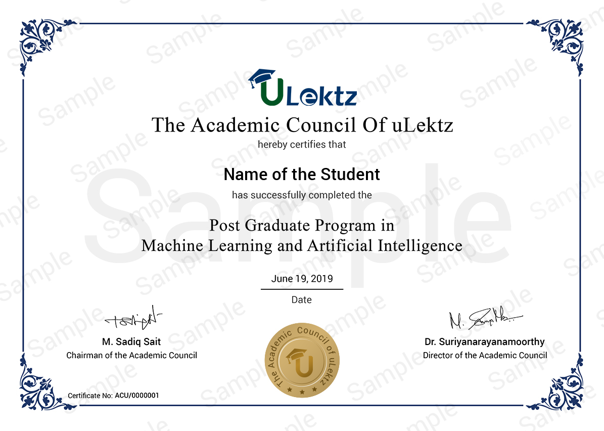
The certificate issued for the Course will have
Only the e-certificate will be made available. No Hard copies. The certificates issued by uLektz academy. can be e-verifiable at www.ulektzskills.com/verify.

 60 hours Learning Content
 100% online Courses
 English Language
 Certifications
Recommended Courses
See more
 90 hours of Learning Content


90 hours of Learning Content

180 hours of Learning Content
90 hours of Learning Content

90 hours of Learning Content
90 hours of Learning Content

 0
0


 Course Enrollment